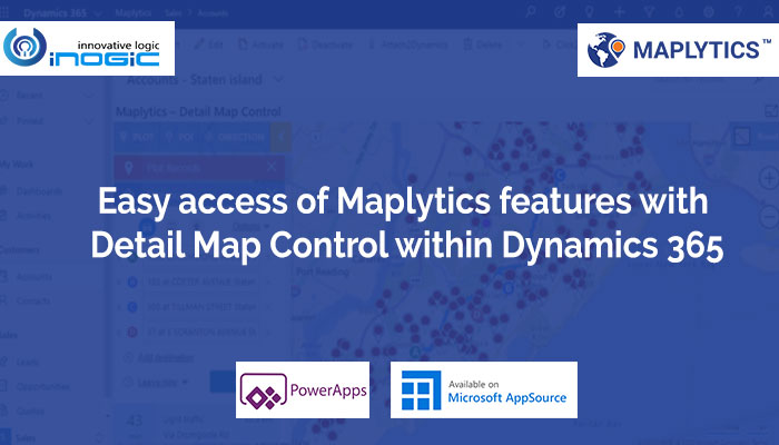
We are already familiar with the three PCF controls that we had added to Maplytics earlier, Map View Control for Record, Map Edit Control for Record and Map View Control for Dataset. As promised in our last blog, we have added the fourth PCF Control i.e. Details Map control, in our latest Release April 2020. Let’s see the functionalities this PCF control provides to a user who is working within Dynamics 365. In our next blog, we will go through the steps to add this PCF Control to the Dataset within Dynamics 365.
Along with the abilities that the Map View Control for Dataset has, the Detail Map Control also provides the user with the ability to perform Maplytics functionalities within the Dynamics 365 screen. If users wish to use the ability to perform ribbon actions on the selected records on map as well as perform features like Proximity Search, Route Management, etc., they can simply add this Detail Map Control and start utilizing its benefits.
Users can add this Detail Map Control to any entity or dashboard to visualize all of the records of the view, sub-grid or dashboard on a map. Users can also click on the pushpins to highlight them. They will be able to perform various actions from the ribbon on all the highlighted records at once. Apart from this, most importantly, they can perform the following Maplytics features within the map on the same page:
Plot entity records
Users will be able to view all entity records for that view on the map. They can hover on the pushpins to view the details regarding the pushpin and click on the pushpin to open the tooltip card for the pushpin. They can right-click and open the contextual menu to open the record and set the respective location as Current Location, POI Location, and the origin, waypoint or the destination for the route.

Plot categorized data
Users can also select an attribute under the option of ‘Select Category’ to categorize the plotted data based on the selected attribute. Here, we have selected the annual revenue for an instance.

Proximity search
Users can set any location as the current location from the tooltip card or contextual menu with a right-click on any location on the map. Once the user sets the current location, they can perform Concentric Proximity Search and can look for the Line-of-Sight Distance on the hover of the tooltip card for any record plotted.

POI locations
Users can set any location as the POI location from the tooltip card or contextual menu with a right-click on any location. Once the user sets the POI location, they can use the POI card and view any geo-tagged Bing mapped locations by clicking on the icons available or entering the keyword for the required location. For example: Dentist.

Route
Users can set any location as the origin, destination or a waypoint from the tooltip card or contextual menu by right-clicking on a record or anywhere on the map and get the route created for the waypoints selected. User will get further options like selecting the unit for the distance, avoiding highways etc. within the direction card. User can also use the turn-by-turn navigation directions given within the direction card to navigate themselves along the route.

Map mode and labels
Two map modes are available viz. Road and Aerial view. Users can also select to view the labels of regions on the map.

As this is the first edition of Detail Map Control, we have added fewer features with minor limitations. We are working on Detail Map Control and we will be adding all the rest of the features in our future releases. This way, soon our users will have the ability to perform all the Maplytics features within Dynamics 365 on the dataset page.With all the features mentioned above, Detail Map Control provides the user with the freedom of using Maplytics features right from the page without switching to any other screens. Users can easily work on the Dynamics CRM data along with the geographical assistance using the Detail Map Control. They can further drill down into any data to search for the nearest records, POI location or the suitable route to any location.
Contact us at crm@inogic.com to provide your valuable suggestion and feedback. We will be glad to consider your suggestions and add them in our future releases.


