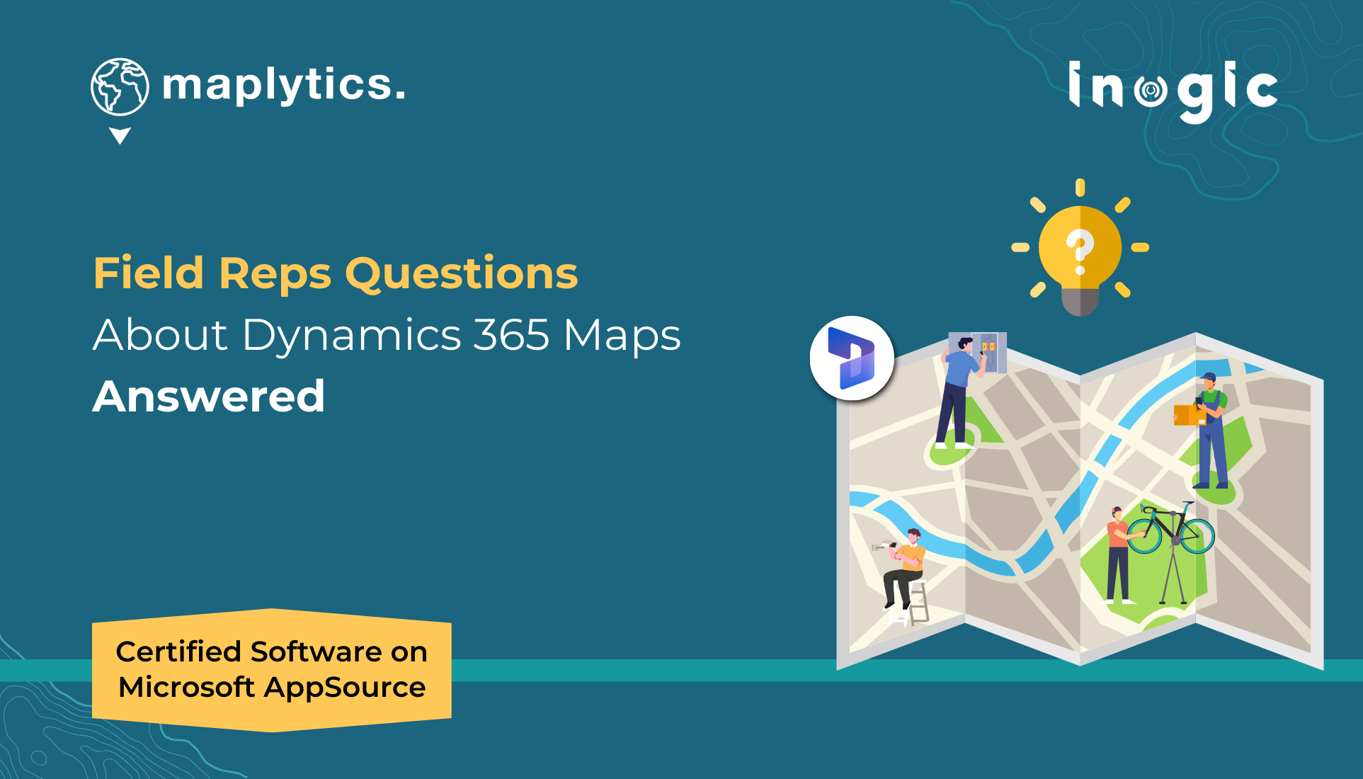
Leveraging geo-mapping capabilities within Dynamics 365 CRM has become increasingly essential.
As businesses look for more efficient ways to visualize CRM data on maps, manage territories, optimize field services, and make data-driven decisions, CRM users often have a lot of questions.
If you’re wondering how geo-mapping can enhance your operations, streamline field service management, or improve customer outreach, you’re not alone.
In this blog, we’ll answer some of the most common queries around geo-mapping and field services, providing you with practical insights and solutions to optimize your CRM experience.
How can I visualize my CRM data on a map in Dynamics 365?
Out-of-the-box, Dynamics 365 CRM offers limited mapping functionality, which may not provide the depth of visualization or analytics needed for advanced location-based insights. While native features allow basic display of records on a map, the customization and analytics options can be quite limited.
On the other hand, Maplytics – #1 Microsoft Appsource Certified Geo-Mapping App – fully integrates with Dynamics 365 CRM to enhance your mapping capabilities. It enables you to visualize CRM data with color-coded pushpins, heat maps, and other geo-analytic dashboard and tools, making it easy to categorize, filter, and gain actionable insights from your data. With Maplytics, you get a more robust and flexible mapping solution, transforming your CRM data into powerful location-driven insights.
How does Dynamics 365 CRM benefit from mapping features?
Dynamics 365 CRM provides a strong foundation for managing customer relationships but offers only basic mapping capabilities natively, such as simple map visualizations through Power Apps controls. To fully leverage location intelligence — like visualizing customer distribution, optimizing field service routes, managing territories, or conducting proximity-based searches — more advanced mapping tools are needed.
Maplytics addresses this gap by seamlessly integrating Azure Maps and Bing Maps into Dynamics 365 CRM. It enables users to plot CRM data on interactive maps, create and manage territories, perform optimized route planning, analyze records using heat maps, and track field agents in real time. With Maplytics, users can enhance CRM functionality with a robust, geo-analytical layer, improving operational efficiency and decision-making.
Can Maplytics help with field service management?
Effective field service management in Dynamics 365 CRM requires more than basic appointment scheduling; it needs real-time visibility, intelligent scheduling, and optimized routing. While Dynamics 365 offers basic capabilities, it lacks advanced geo-mapping and live tracking essential for efficient field service. Maplytics bridges this gap by integrating geo-analytics into CRM, enabling visualization of resources and customer locations, optimizing multi-stop routes with real-time traffic, automating scheduling based on proximity, skills, and availability, and providing live tracking for dynamic plan adjustments. This transforms field service into a data-driven, streamlined process that cuts costs, boosts customer satisfaction, and enhances productivity. By combining advanced mapping with CRM data, Maplytics transforms field service management into a streamlined, data-driven process — reducing operational costs, improving customer satisfaction, and significantly enhancing field agent productivity.
What are some key benefits of integrating geo-mapping with Dynamics 365 CRM for sales teams?
Integrating geo-mapping with Dynamics 365 CRM offers significant benefits for sales teams. It helps them better visualize customer distribution, optimize travel routes, efficiently manage sales territories, and identify new business opportunities. Without dedicated geo-mapping, sales reps often rely on manual planning, leading to inefficient travel and missed prospects.
While Dynamics 365 CRM provides some basic mapping functionality, for more advanced needs like territory balancing, real-time route optimization, and proximity-based lead discovery, a robust solution is needed. Maplytics extends the native capabilities by embedding powerful mapping features directly within Dynamics 365. It enables sales teams to view CRM data geographically, optimize appointments, prioritize leads, and significantly cut down travel time, ultimately boosting overall productivity.
Can I easily find nearby CRM records based on proximity?
Natively, Dynamics 365 CRM provides very limited capabilities for proximity-based record searches, often requiring custom development or manual workarounds. This can make it challenging and inefficient for users who need to quickly locate nearby customers or leads.
With Maplytics, the leading Geo-Analytical solution for Dynamics 365 CRM, this process becomes seamless. It enables users to easily define a radius or travel time from any point and instantly retrieve CRM records within that area. Field agents and sales reps can efficiently plan visits and engage with nearby prospects, significantly boosting productivity and customer response rates — all without leaving the Dynamics 365 environment.
Can I optimize the route of my sales schedule on Maps in field services within Dynamics 365 CRM?
Yes, you can optimize the route of your sales schedule within the Field Service module of Dynamics 365 CRM to an extent. Native capabilities allow basic route plotting, but they are quite limited when it comes to dynamic, multi-stop optimization, considering real-time traffic, and travel modes like walking or public transport.
For more advanced route optimization needs, Maplytics provides an effective solution. It integrates directly with Dynamics 365 CRM and offers real-time, multi-stop route optimization powered by Azure Maps. Maplytics can calculate the fastest routes, adjust based on traffic conditions, and support different travel modes, ensuring your field agents travel efficiently, reduce downtime, and maximize the number of client visits in a day.
Can I optimize sales territories with mapping tools in CRM?
Yes, mapping tools in CRM can greatly optimize sales territory management. Territory management plays a crucial role in directing sales teams to focus on the right areas, but manual management can be inefficient and lead to an imbalance in resource allocation. A CRM mapping tool can automate the process of assigning and optimizing territories, ensuring a more even distribution and enhanced coverage.
With Maplytics and its latest enhancement, businesses can automatically create, manage, and optimize sales territories within Dynamics 365 CRM directly on Azure/Bing Maps. By visualizing these territories on a map, businesses can achieve better territory distribution, streamline sales efforts, and improve the allocation of resources.
What role does real-time tracking play in field operations?
Real-time tracking is essential for managing field teams. It allows managers to monitor field reps’ locations, adjust routes if necessary, and ensure agents are staying on schedule. Without real-time tracking, businesses may struggle to respond to unexpected delays or optimize operations on the fly.
Maplytics includes real-time location tracking, which enables managers to monitor field reps’ movements and travel history. This helps optimize schedules, adjust appointments if needed, and ensures field reps are on track to meet their targets.
Can I integrate third-party mapping solutions like ESRI with Dynamics 365 CRM?
Yes, integrating third-party mapping solutions like ESRI with Dynamics 365 CRM is possible. While this integration can be complex, especially when dealing with intricate data layers or advanced geographic features, Maplytics provides a seamless connection to ESRI’s ArcGIS Online. This integration enables you to leverage advanced GIS functionalities directly within Dynamics 365 CRM, allowing businesses to enhance spatial analysis and gain deeper insights, ultimately improving operational efficiency through powerful mapping capabilities.
Is there a way to automate appointment scheduling for field agents?
Yes, Maplytics is the only app that offers an inbuilt, easy-to-use automated solution for scheduling field agent appointments, which helps eliminate the inefficiencies of manual scheduling. By considering factors such as customer availability, geographic proximity, and technician skills, it ensures a more efficient use of time and resources. The auto-scheduling feature automatically plans multi-day appointments, optimizing routes for field agents based on their location and available time. This not only prevents double bookings but also enhances productivity by streamlining the scheduling process.
Enough for the day?
I guess, yes! Enough to take the right decision for your geo-spatial needs of Dynamics 365 CRM.
If you’d like to learn more about Geo-Mapping, Field Service, Azure Map Integration, or how Dynamics 365 CRM can drive effective sales goals from Azure/Bing Maps, feel free to reach out to us at crm@inogic.com.
Interested in exploring Maplytics for your CRM’s geo-analytical needs? Try a 15-day free trial on our website, or book a personalized demo to experience its full potential.
Want to explore more?
Visit our Blogs, Client Testimonials, Success Stories, Industry Applications, and Video Library to see how businesses are leveraging Azure / Bing Maps integration for their Dynamics 365 / PowerApps / Dataverse.
Have questions? Reach out to our team at crm@inogic.com or visit Microsoft AppSource to get started today!


