Visualize land types over map
Differentiate industrial, commercial, residential, and agricultural areas on the map and associalte clients accordingly
#CustomersForLife
Land Area Mapping in Dynamics 365 CRM
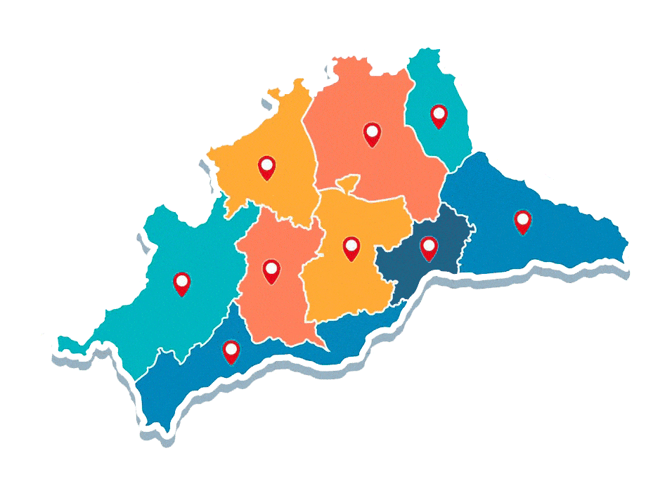
Maplytics has been catering to the demands of various industries, and with the Dynamics 365 Land Area Mapping feature, dealing with land plots has become easier for our clients. With the help of Land Area Mapping in Microsoft Dynamics 365, Maplytics users can visualize the area of agriculture, residential, commercial properties, etc., on the map. They can easily define the area of land for the respective entity records and then visualize the same on the map.
Maplytics users from different industries can visualize the land along with the respective color-coded pushpins on the map. This will help them to have a glance at the record’s location along with the area it covers. If they are dealing only with the land, then they can visualize the same without any pushpins, as per their business requirements.
FAQ's

Can the lands be assigned by drawing a boundary on the map?
Yes, using Land Area Mapping feature, user can use the option of ‘By drawing’ to draw the boundary of the land and assign it to the required record.
Can user view details of the farms plotted on the map?
Yes, users can click on the land to open the summary card that shows the area of the land along with other details if the land is assigned using a Shape file.
Can an organisation dealing with Real estate properties use this feature?
Yes, organisations dealing with real estate properties or farming lands can use this feature to assign and visualize the lands on map for the CRM records.
Can I visualise the lands along with the pushpin of the records to which the lands are assigned?
Yes, the records and the respective land can be plotted together on the map. It will automatically color code the pushpins the same as that of the lands allowing user to differentiate between lands and records.
Can I use Shape file to assign multiple lands to multiple records?
Yes, using Land Area Mapping feature, user can use the option of shape file to plot regions on the map and assign multiple lands to multiple records quickly.