ESRI & Maplytics—The Ultimate Location Intelligence Duo!
A seamless ArcGIS Integration for Smarter Business Decisions
#CustomersForLife
ESRI Maps for Dynamics 365 CRM
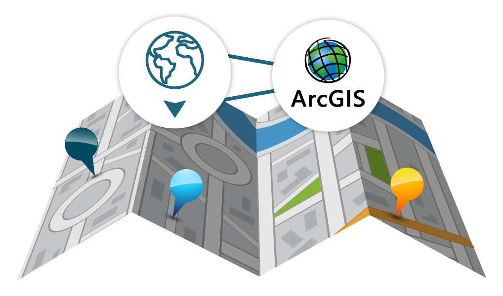
Maplytics integrates seamlessly with ESRI’s ArcGIS Online, bringing advanced GIS capabilities into Microsoft Dynamics 365. Users can connect their ArcGIS account to visualize existing layers directly within Maplytics. Any updates made in ArcGIS are automatically reflected, enabling real-time access to spatial data. This integration empowers businesses to analyze, optimize, and manage territories with enhanced geographic precision and deep data insights. It bridges the gap between GIS and CRM, allowing teams to make informed, location-driven decisions intelligently, without switching platforms.
- Import and visualize GIS layers from ArcGIS Online directly on Maplytics maps.
- Gain deep insights by overlaying business data with location intelligence.
- Enhance decision-making based on enriched location-based analysis.
- Combine CRM data with ArcGIS layers for side-by-side analysis, helping users identify patterns, gaps, and opportunities more effectively.
- Empower field teams, marketers, and planners to make better-informed, geography-driven decisions without switching between platforms.
- Automatically reflect updates made in ArcGIS, ensuring real-time access to the latest spatial data within Dynamics 365.

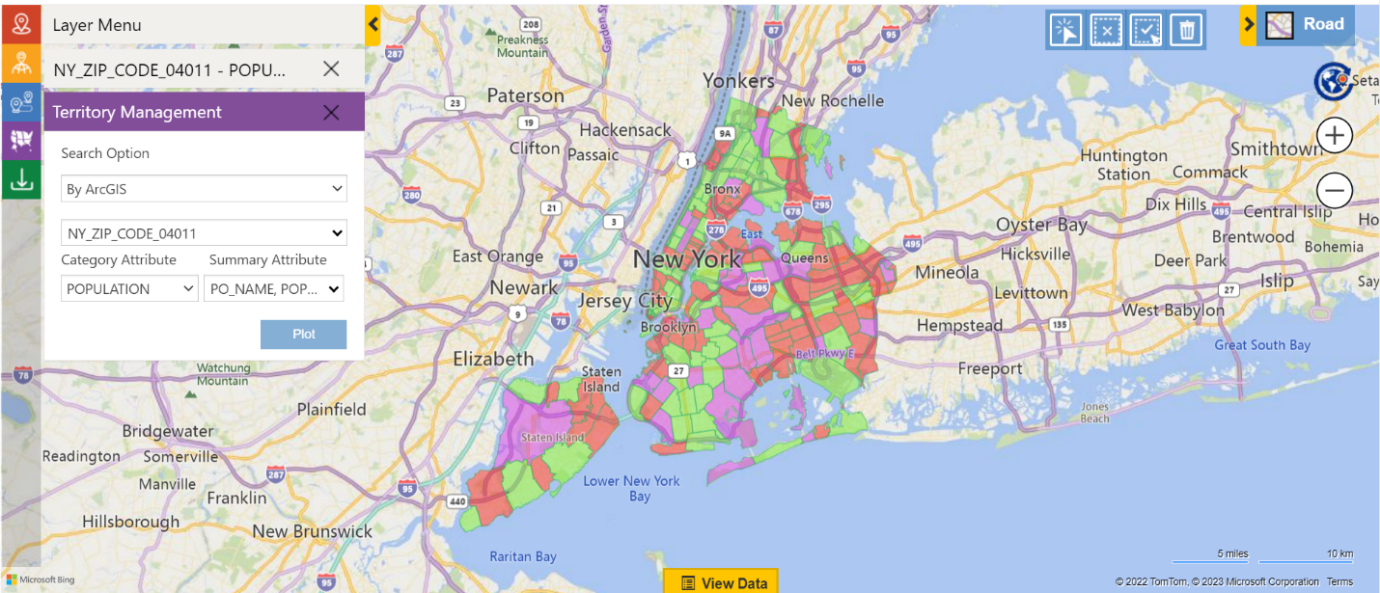
- Design, modify, and manage territories within Dynamics 365 using detailed ArcGIS map layers for more accurate geographic representation.
- Create balanced territories by analyzing a mix of demographics, sales data, or custom metrics to ensure fairness and efficiency.
- Optimize resource allocation and field operations by aligning territories with real-world insights, ultimately improving sales performance.
- Bring your ArcGIS layers into Maplytics and select specific regions directly from those layers to create new territories with precision.
- Add cities, postal codes, or other geographic areas from ArcGIS layers to expand or modify existing territories seamlessly.
- Leverage demographic and geographic insights from ArcGIS to create balanced, performance-driven territories within Dynamics 365.
- Maintain consistency across GIS and CRM platforms by syncing changes made in ArcGIS layers directly with your CRM territories.
- Use custom shapes or regions from ArcGIS to define territories that better reflect real-world market dynamics and field operations.
Real-World Application
Consider a water utility company struggling with inefficient field operations and delayed responses to maintenance requests. By integrating Maplytics with ArcGIS, they can gain real-time visibility of their service zones, optimize technician assignments, and cut down response times by an average of 30%!
From logistics and utilities to field sales and service, this collaboration empowers businesses with location intelligence that drives results.

Maplytics integrates with ESRI’s ArcGIS Online to bring advanced GIS insights into Dynamics 365, enabling data visualization, optimized territories, and smarter decision-making. Businesses can overlay ArcGIS layers, balance territories with key metrics, and enhance resource allocation. Multiple industries can gain real-time service visibility, cutting response times and improving efficiency.